Every property survey starts with the same question – what condition is the building actually in? For some properties, the answer is easy to find. For others, access, height or the size of the site makes it much more difficult.
Drone property surveys provide a practical way to inspect buildings and land without changing how the property is being used or relying on temporary access equipment.
Using professional drone technology, also referred to as Unmanned Aerial Vehicles (UAVs), Portal Drones carries out property surveys across Cheshire, Shropshire, Flintshire, Merseyside and throughout the North West, working on commercial buildings, industrial sites, public sector properties and residential homes.
Commercial Property Surveys Across the North West
Commercial property surveys make up a large part of our work.
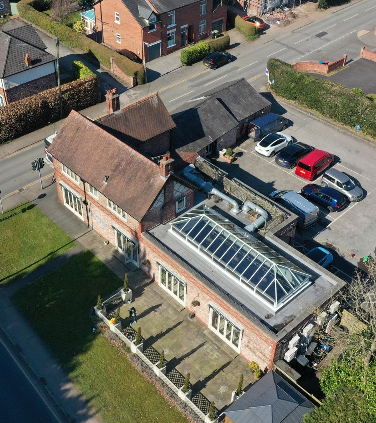
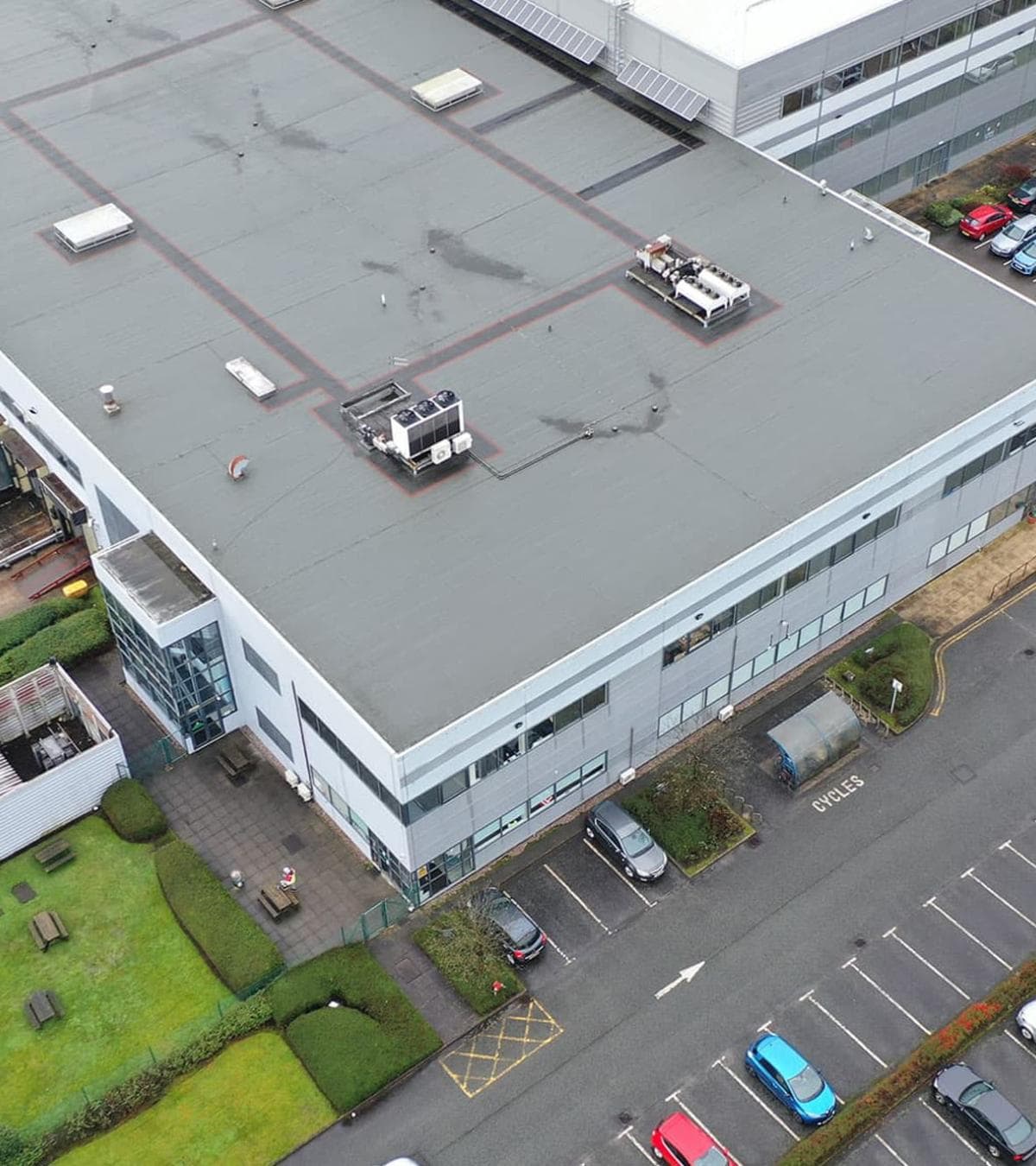
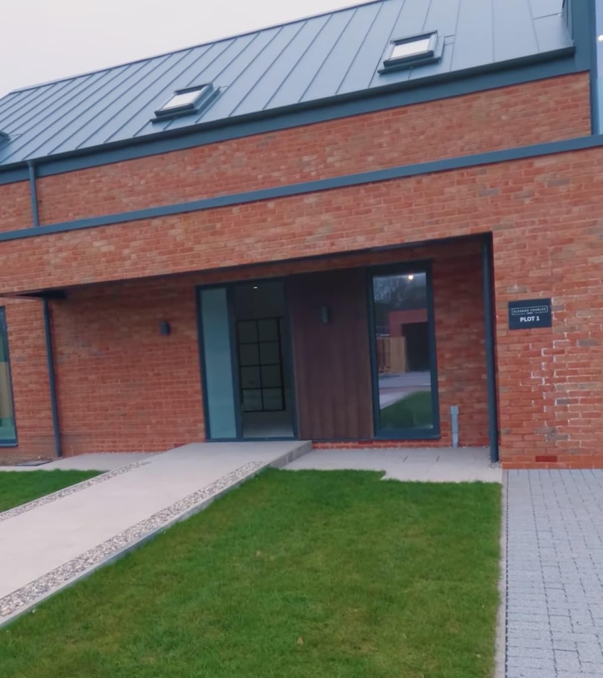
We regularly support commercial landlords, facilities managers, surveyors, developers and property management companies who need reliable information about the condition of their buildings. Industrial estates, offices, warehouses, schools, hospitals and public sector buildings all present different challenges when it comes to access, but they all benefit from being viewed from above.
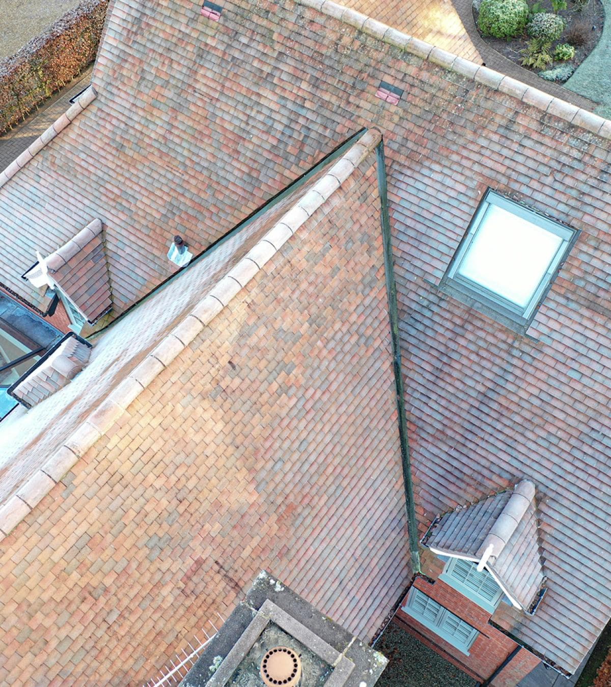
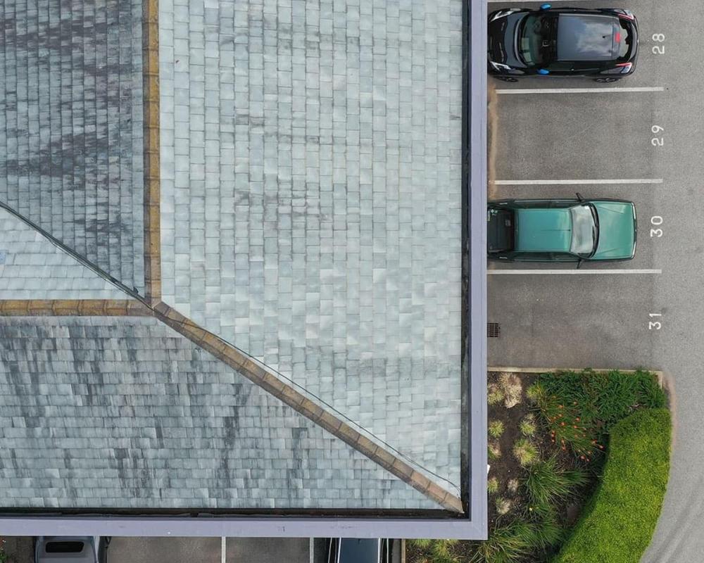
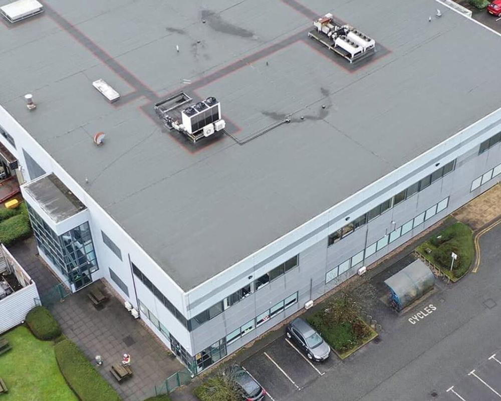
Rather than arranging scaffolding or specialist access simply to inspect a roof or upper elevation, our UAV surveys provide a clear visual record that can be reviewed before decisions are made about maintenance, refurbishment or repairs.
Supporting Surveyors and Property Professionals
We often work alongside building surveyors and inspection teams who need additional imagery as part of a wider property survey.
Some projects involve recording an entire building. Others concentrate on one section where damage or deterioration has already been identified. During the flight, we can stream the live view directly to your team, making it possible to request closer images of particular areas while the survey is taking place.
That often answers questions there and then, without arranging another visit.
Property Surveys for Buildings and Land
No two sites are the same, so the way they're surveyed changes from one project to the next.
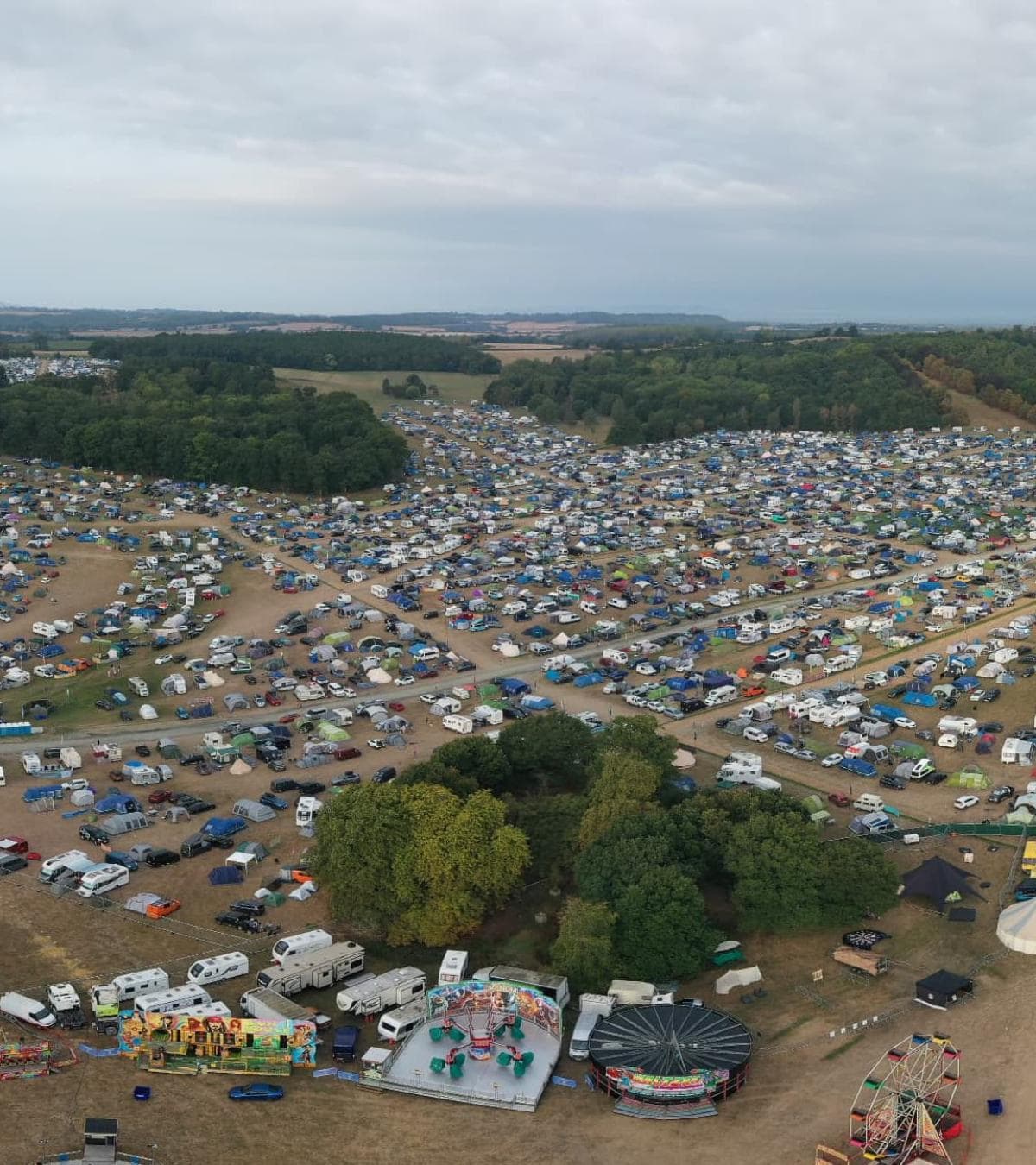
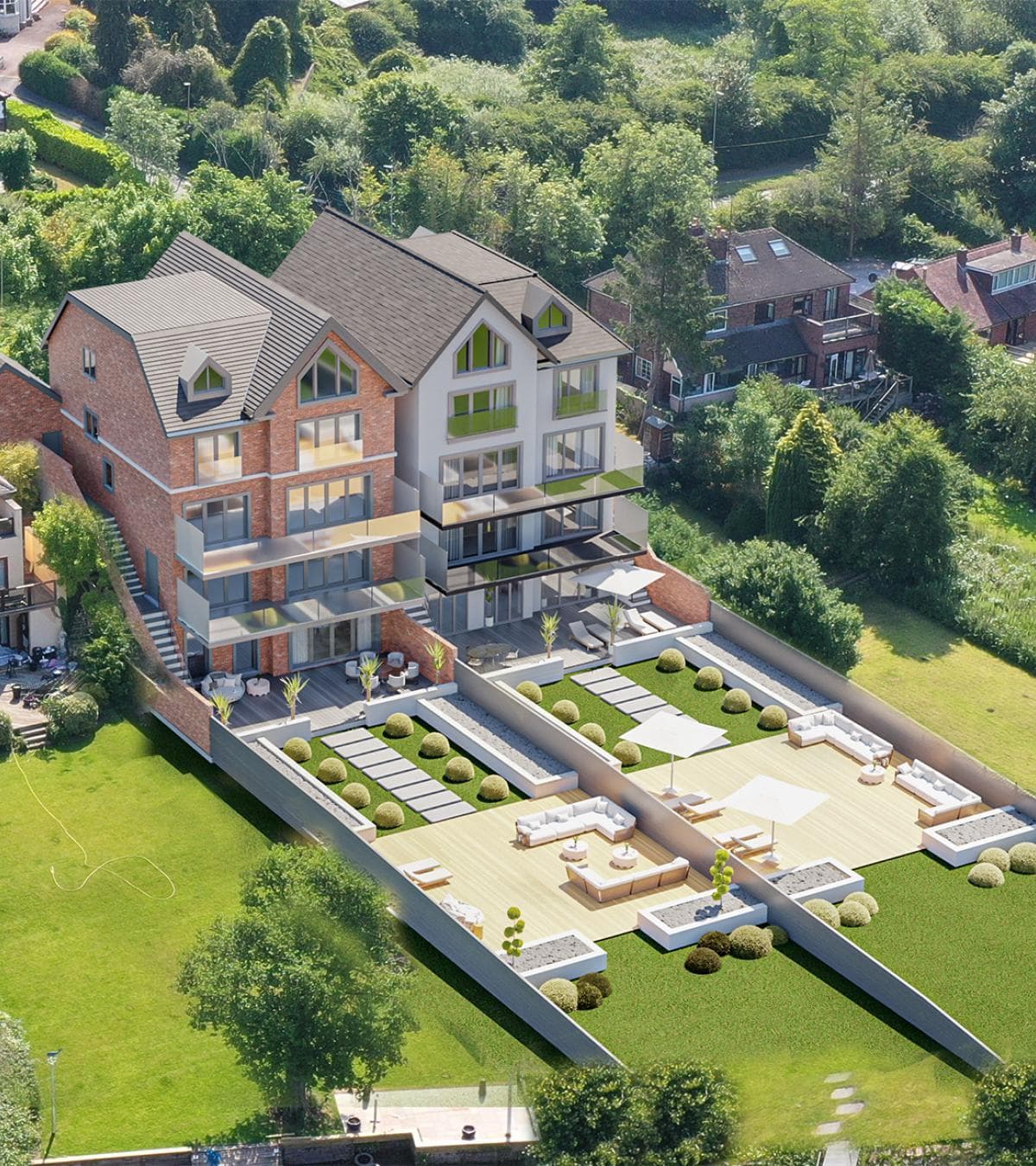
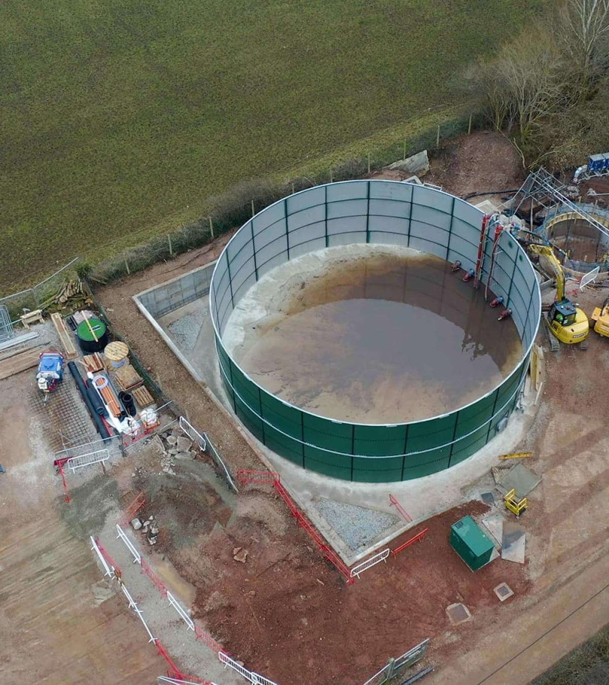
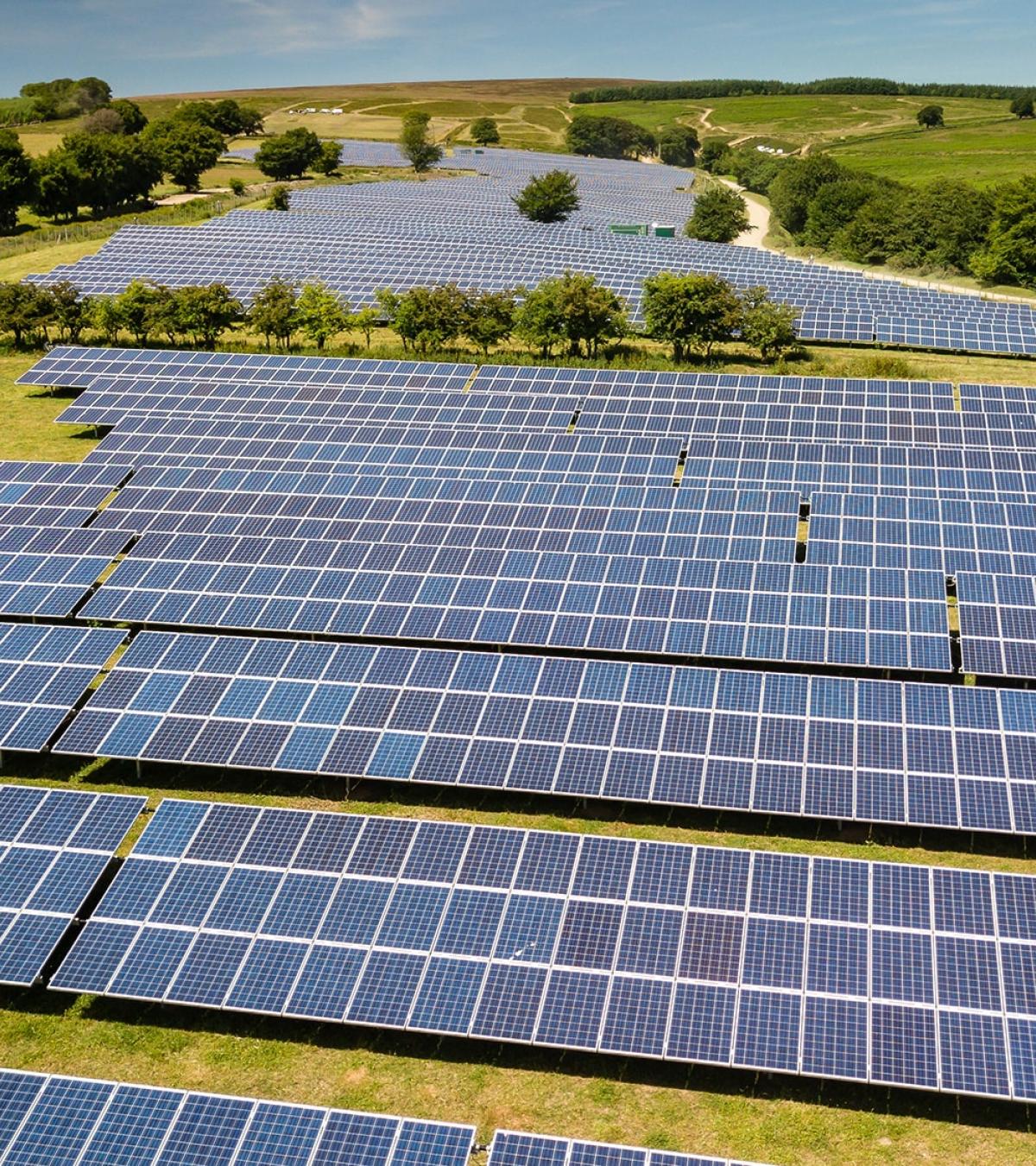
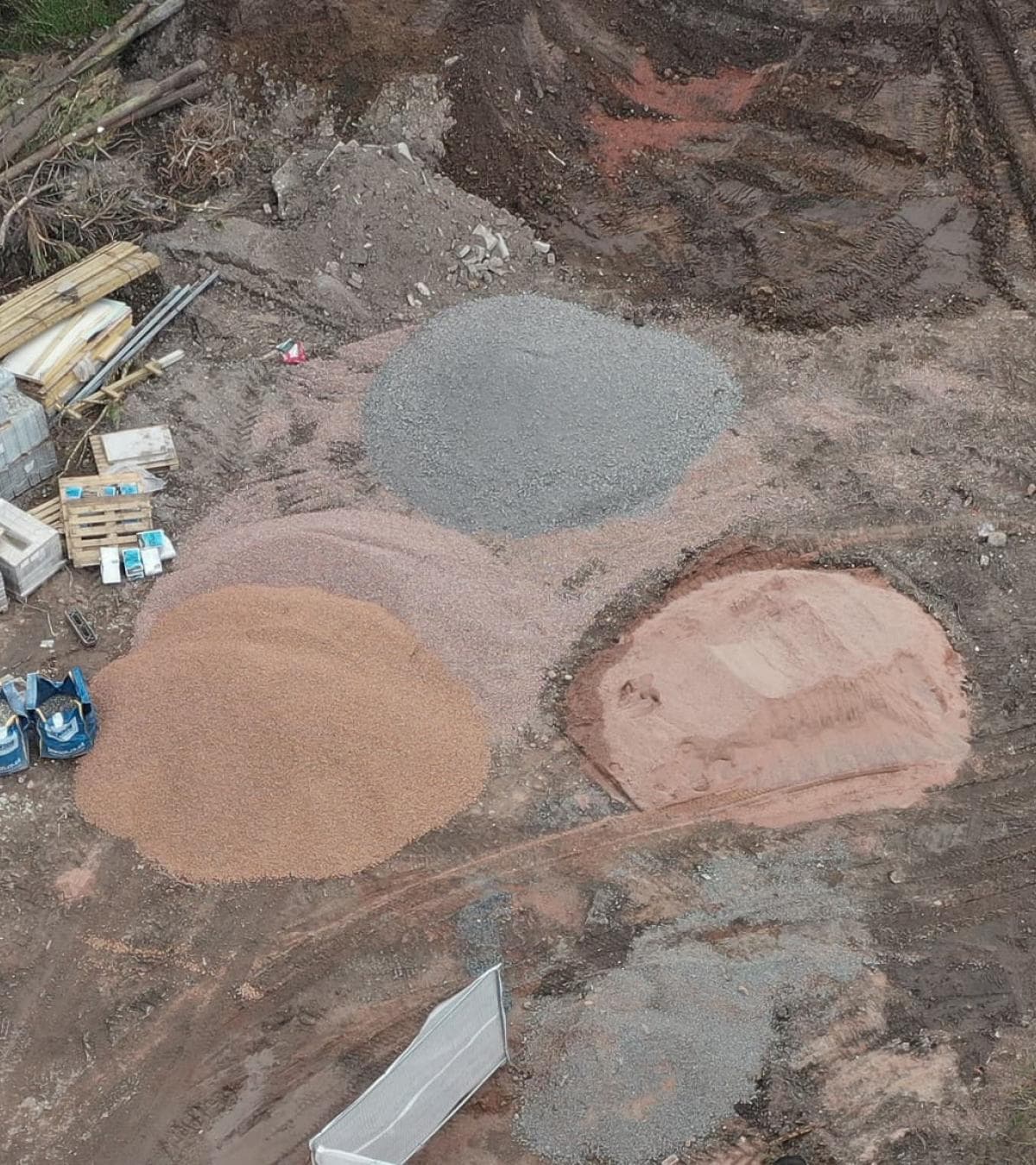
We carry out property surveys on office buildings, warehouses, industrial units, retail premises, schools, apartment blocks and residential homes. We also survey land where clients need a clearer understanding of boundaries, layout or condition before work begins.
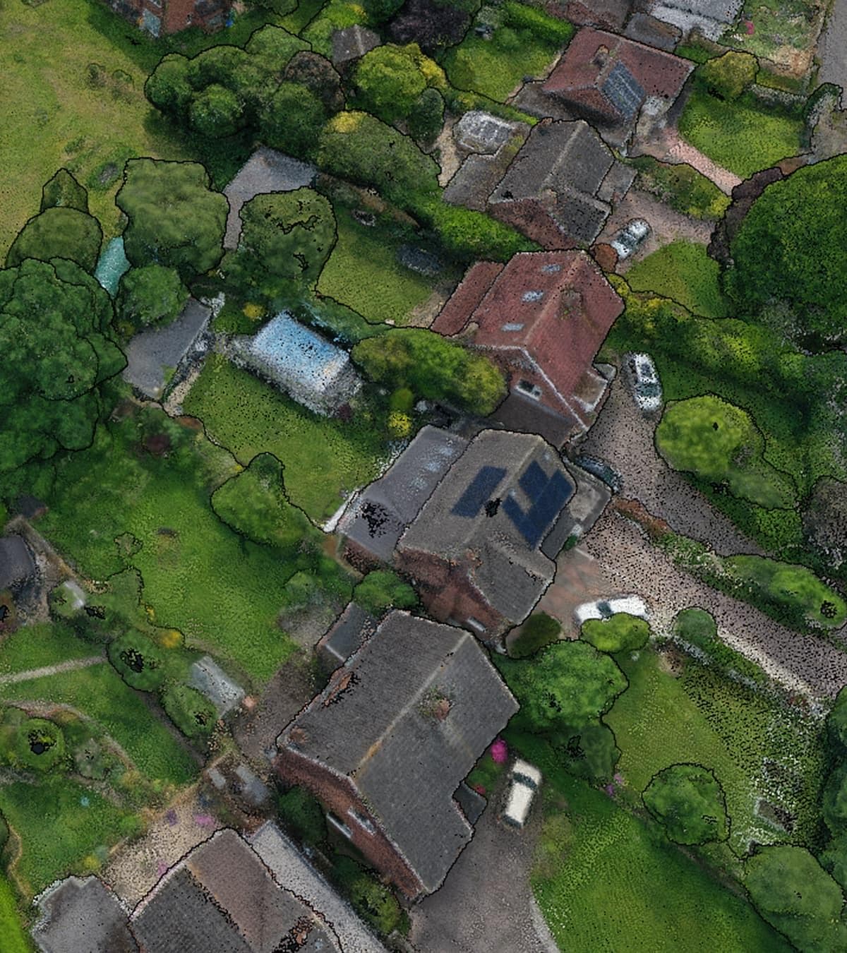
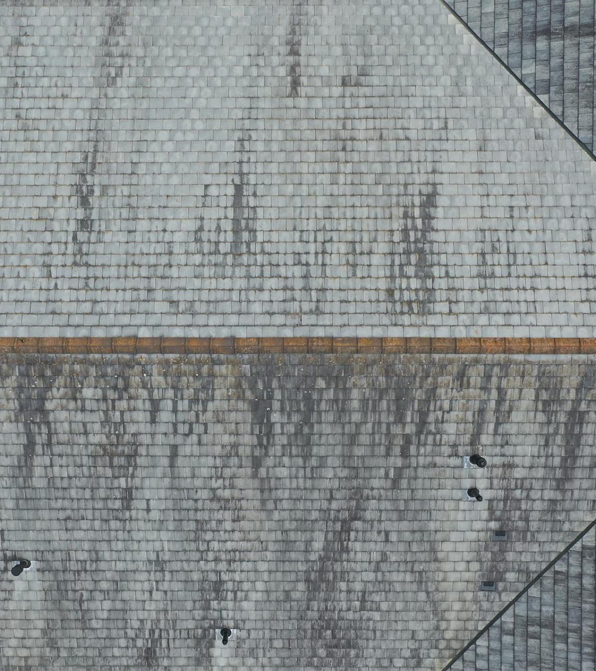
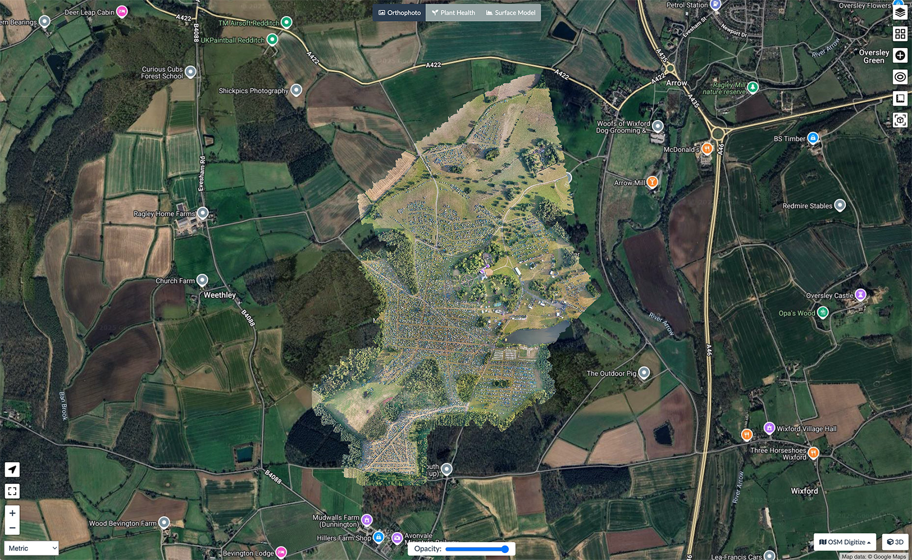
Depending on the project, surveys may include roof inspections, building condition surveys, structural inspections, aerial photography, UAV mapping, or detailed drone survey data.
A Practical Alternative to Traditional Access
Traditional property surveys often involve working at height or bringing in access equipment before the inspection can even begin.
Drone surveys remove much of that preparation. Buildings can be viewed from multiple angles without ladders, scaffolding or access platforms, reducing disruption while still providing detailed imagery for review.
The images can be supplied alongside video or mapping outputs where these are required as part of the survey.
Clear Information That Supports Better Decisions
Property surveys are about understanding what is there before deciding what happens next.
Whether you're managing a commercial portfolio, planning refurbishment works or checking the condition of a single building, a drone survey provides a straightforward visual record that can be reviewed, shared and referred back to whenever it's needed.
If you're considering using drone services on an upcoming project, Portal Drones can help you plan things properly from the outset. We take the time to understand what you need, then capture the right information in a clear, practical way that's easy to use long after the flight is finished.