Using drones also means you don’t need scaffolding, ladders or any of the usual access equipment. Everything can be captured from a safe distance, even on sites with awkward layouts or hard-to-reach corners. It’s a practical, reliable way to collect the information you need, whether it’s for a small residential plot or a much larger, more complex area.

A Practical Way to Assess Your Site
People use aerial surveys for all sorts of reasons — boundary checks, early site assessments, condition reports, red line drawings, and general documentation before work begins.
Sometimes it’s needed to support a dispute, sometimes it’s part of planning, and other times it’s simply to get a proper look at something that’s hard to reach from the ground.
Whatever the purpose, the approach is the same. We carry out a controlled flight, capture the visuals you need, and deliver the results in a format that makes sense for the job at hand.
Get in touch
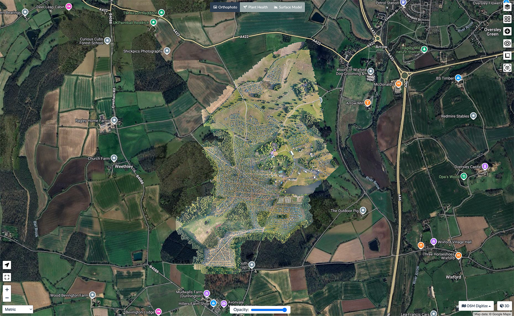
Our 360 virtual tours let you see the whole site at once, giving you clarity and peace of mind when you’re reviewing layouts or planning work.
Clear Footage and Useful Data from Portal Drones
Once the survey is complete, we process the images and data so you can use it straight away. Depending on what you need, this might be a simple set of photographs, stitched imagery, or files mapped and aligned so you can measure from them accurately.
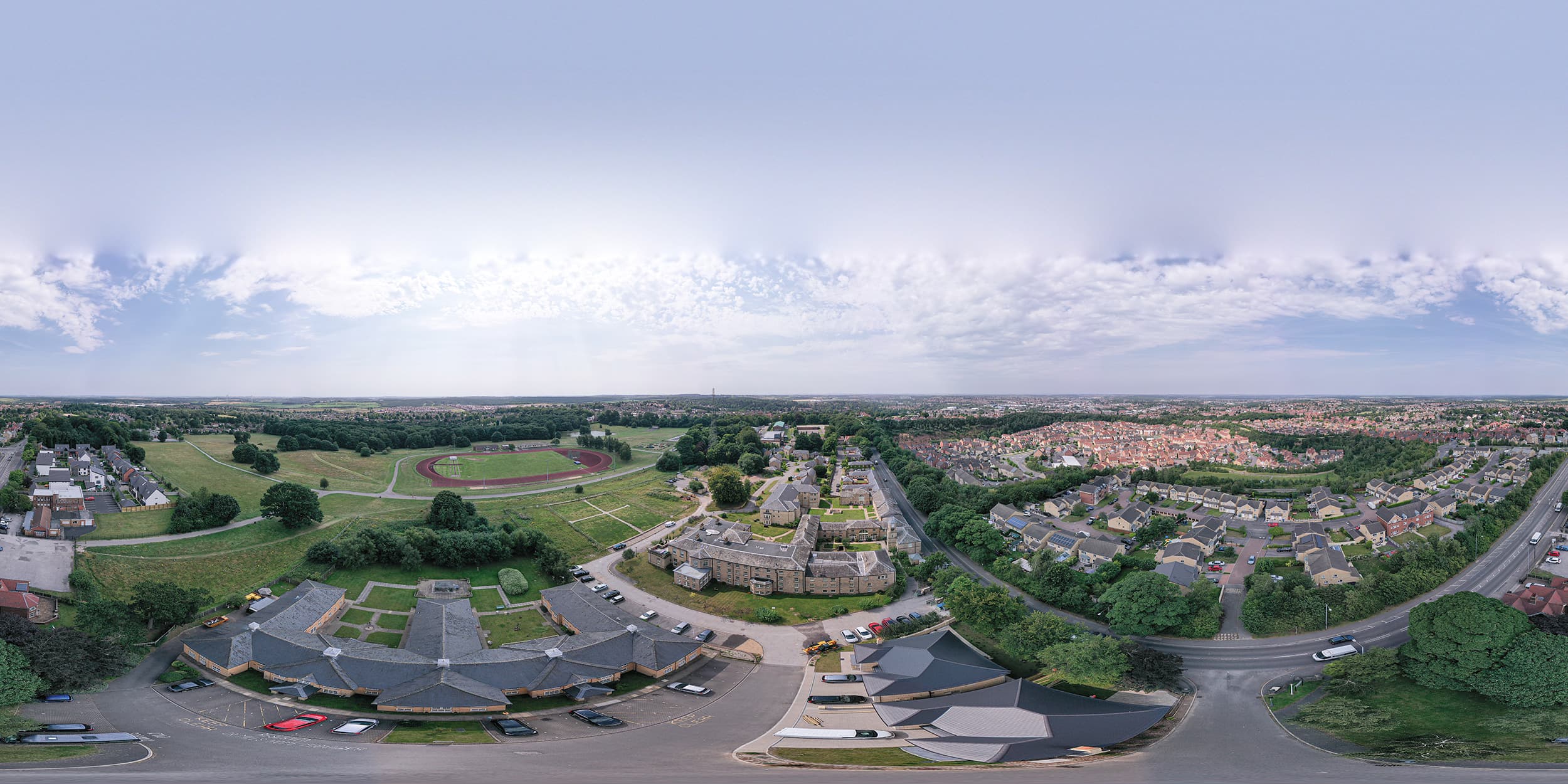
Being able to view everything from above often makes decisions easier. You can check layouts, see how a site is being used, and spot issues that wouldn’t be obvious from the ground — anything from the state of a roof to the condition of a boundary or an area of damage.
Seeing Your Project from a Different Angle
Aerial surveys aren’t only for construction or disputes. They work well for documenting progress, reviewing damage, or even capturing one-off events where a unique perspective makes a difference.
The view from above gives you context you don’t always get at ground level, and it helps you understand the space in a more complete way.
If you’ve got something specific in mind, we can shape the survey around it and deliver the results in whichever format you prefer.
Get in touchThis aerial drone survey showcases Holly House Estate, an industrial and agricultural business park located in Middlewich, Cheshire