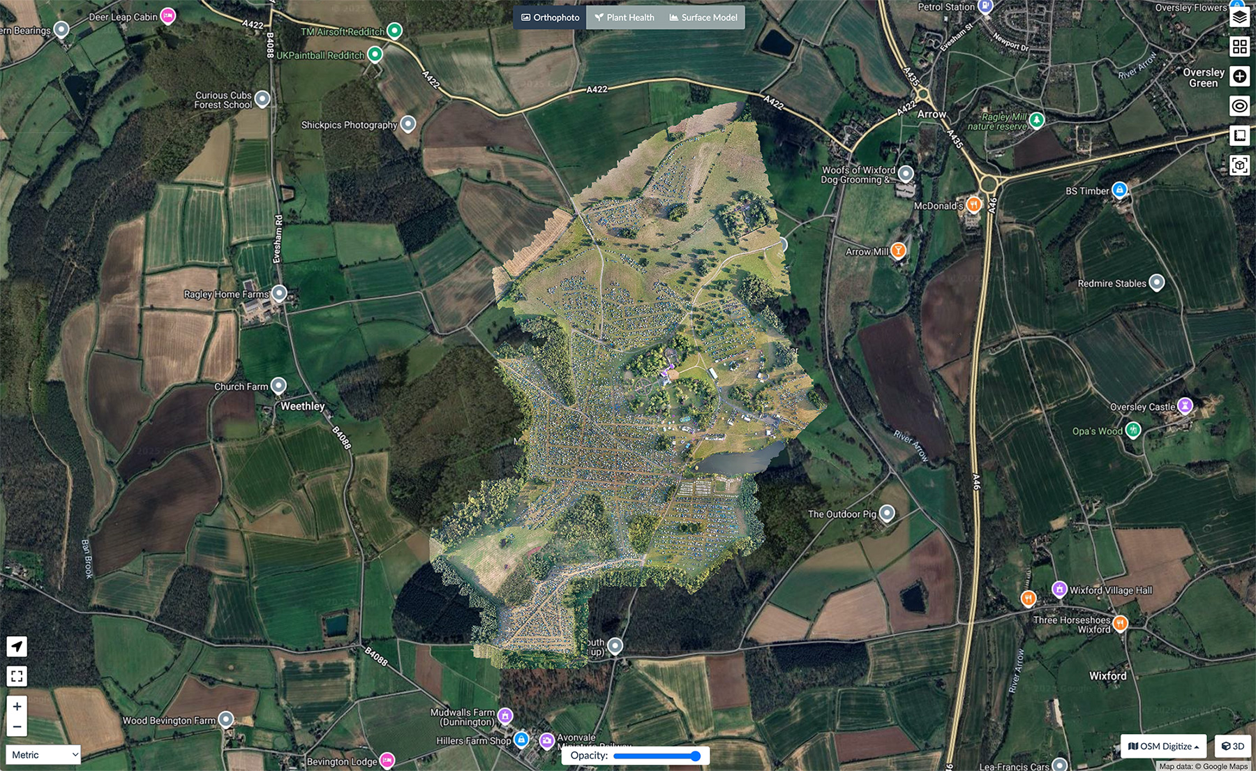
Seeing a site in photographs is one thing. Being able to explore it as though you're standing there is something else entirely.
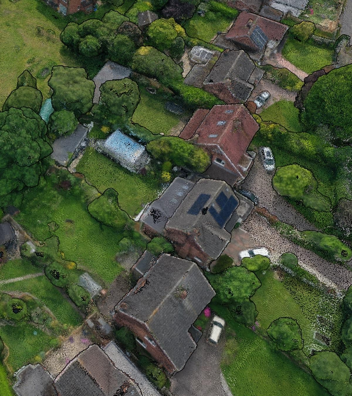
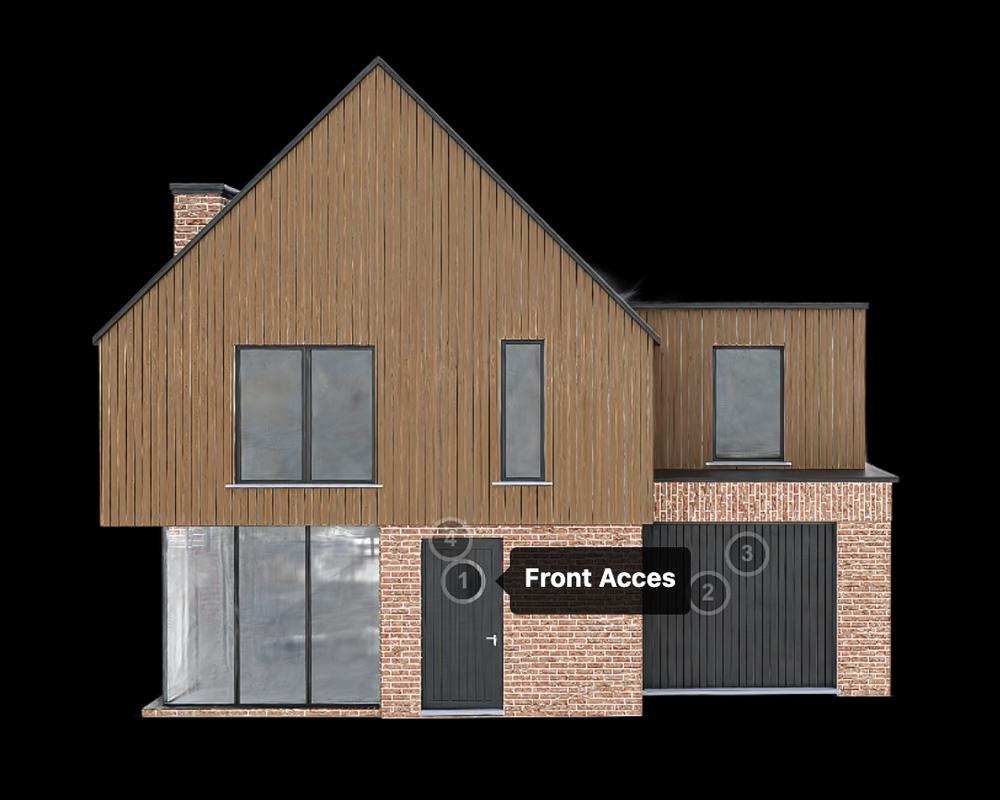
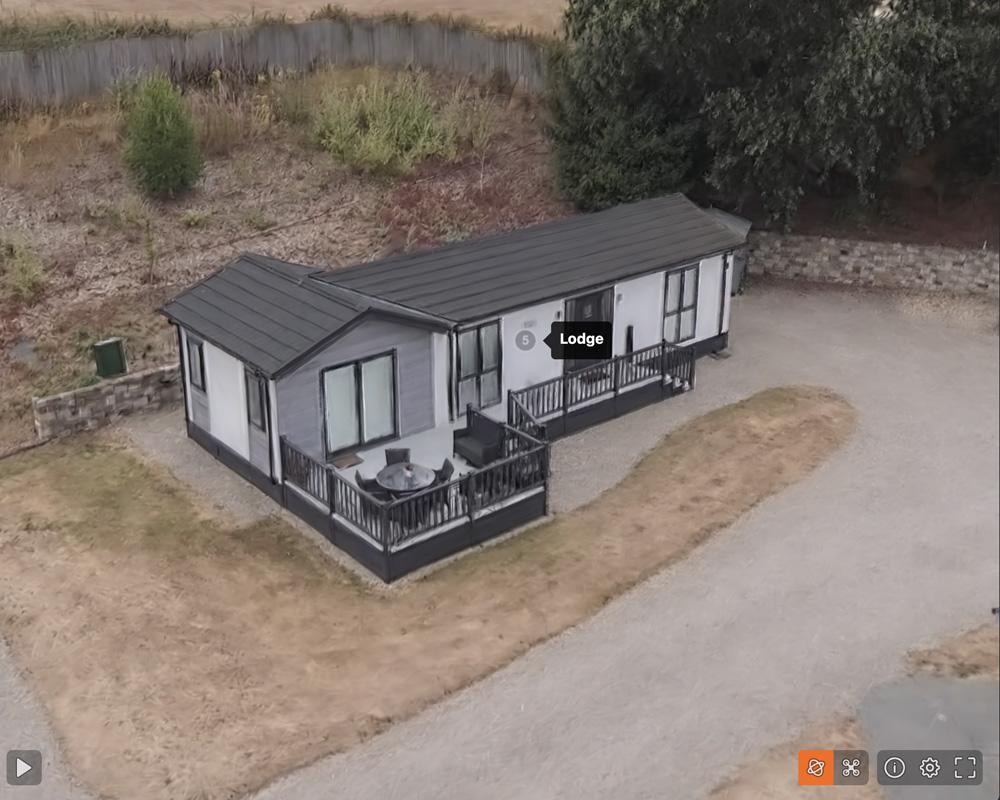
Gaussian Splatting is a newer way of creating highly detailed digital models from drone imagery. Rather than producing a traditional mesh, thousands of captured images are processed into a realistic 3D scene that can be viewed from almost any angle. For many commercial projects, it provides a more natural way to visualise buildings, land and infrastructure.
Drone Gaussian Splatting Across Cheshire
Portal Drones creates Gaussian Splats across Cheshire and the North West for commercial property, construction projects, industrial sites and land.
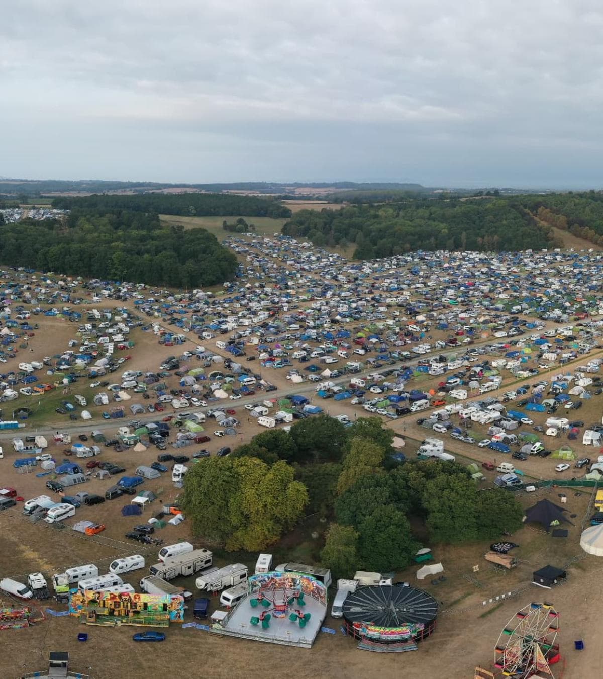
The process starts with a carefully planned drone survey. Images are captured from multiple viewpoints to make sure every part of the site is recorded properly. Once processed, those images become an interactive 3D model that represents the property in far greater detail than traditional photography alone.
For developers, surveyors and property managers, this provides another way of understanding a site without needing to be there in person.
A Different Way to View Property and Land
Traditional photographs only ever show one angle at a time. A Gaussian Splat allows you to move naturally around the scene, looking at buildings, structures and surrounding land from different viewpoints. This can make it easier to understand access, scale and the relationship between different parts of a site.
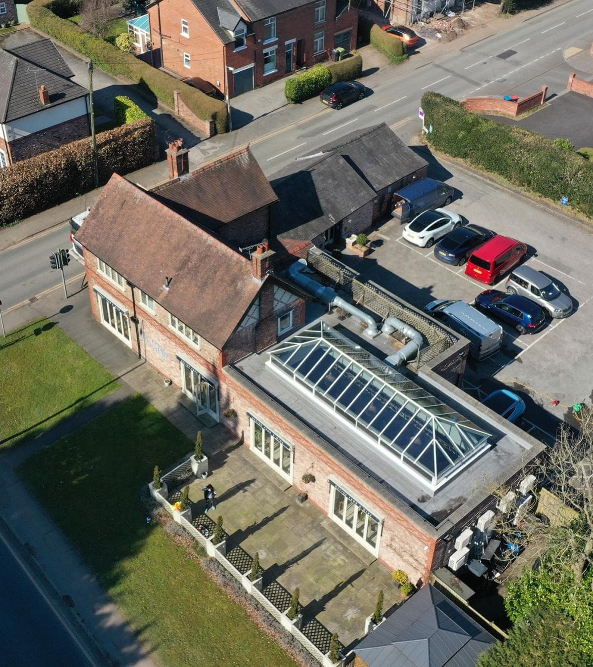
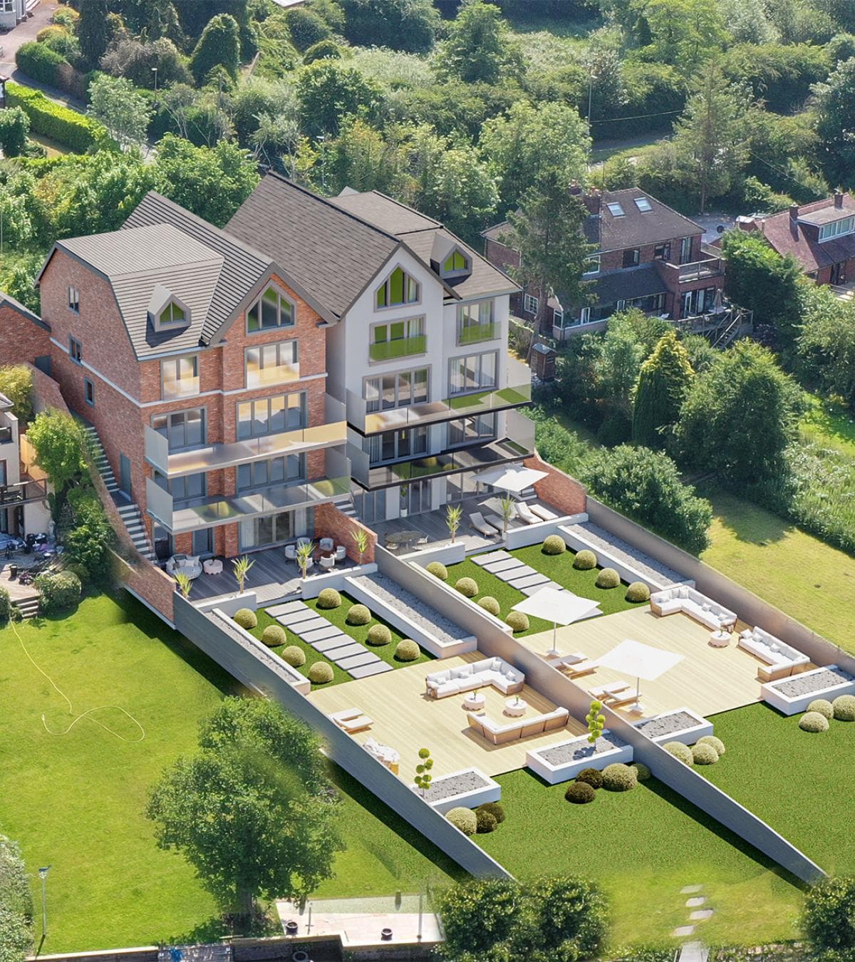
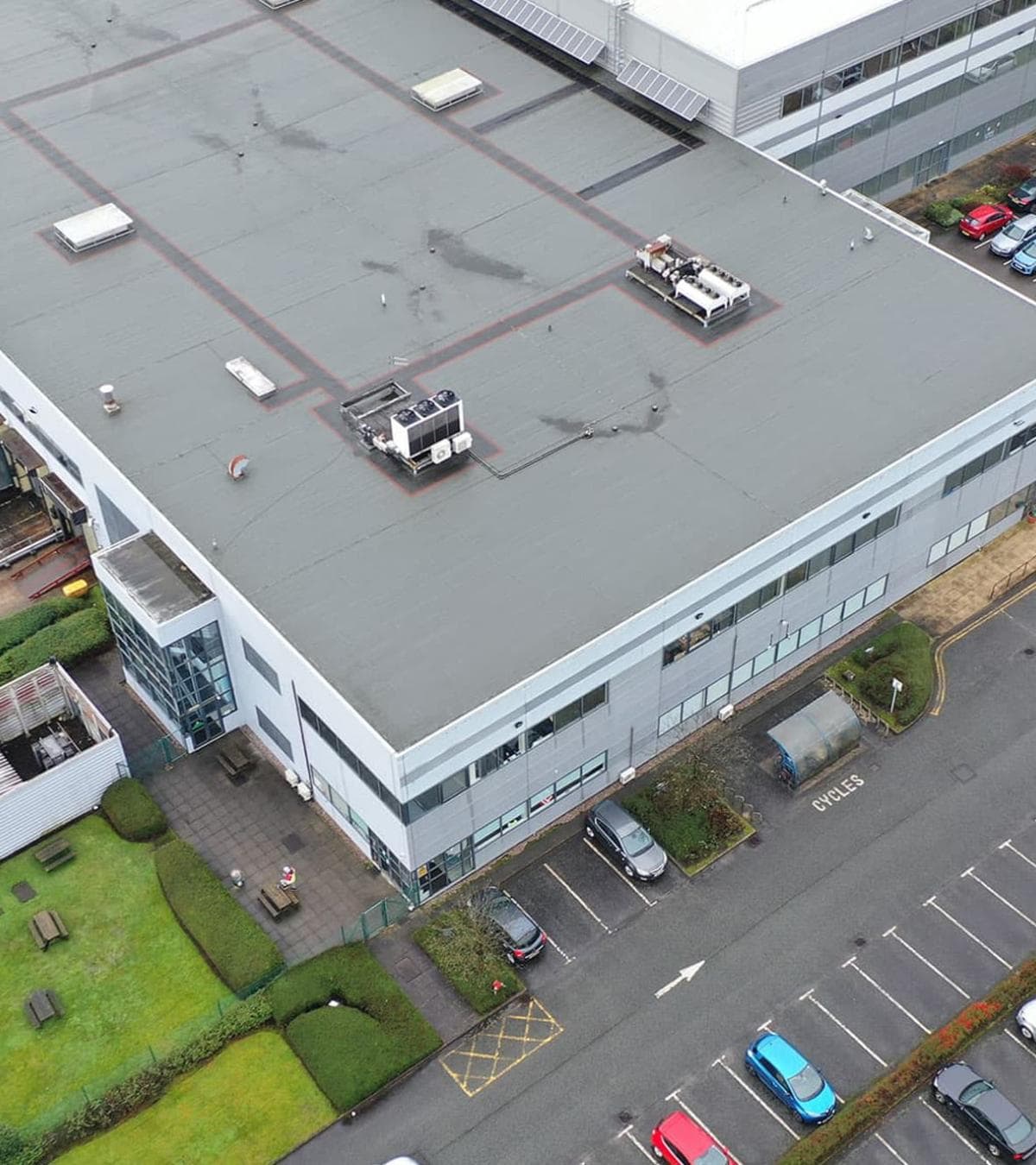
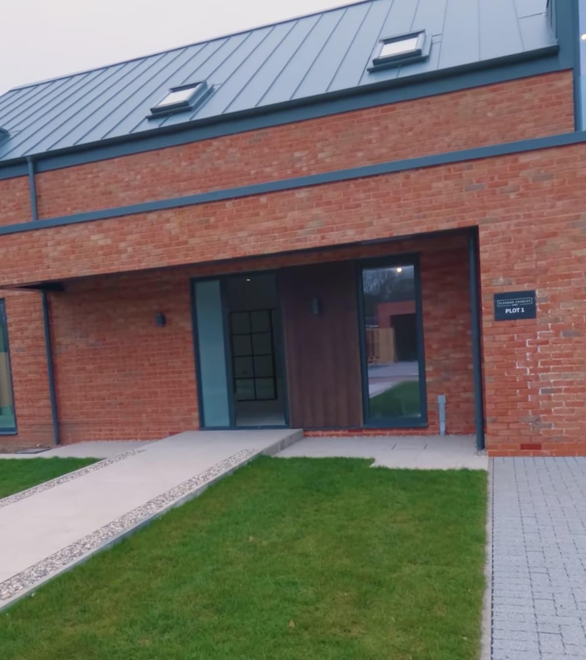
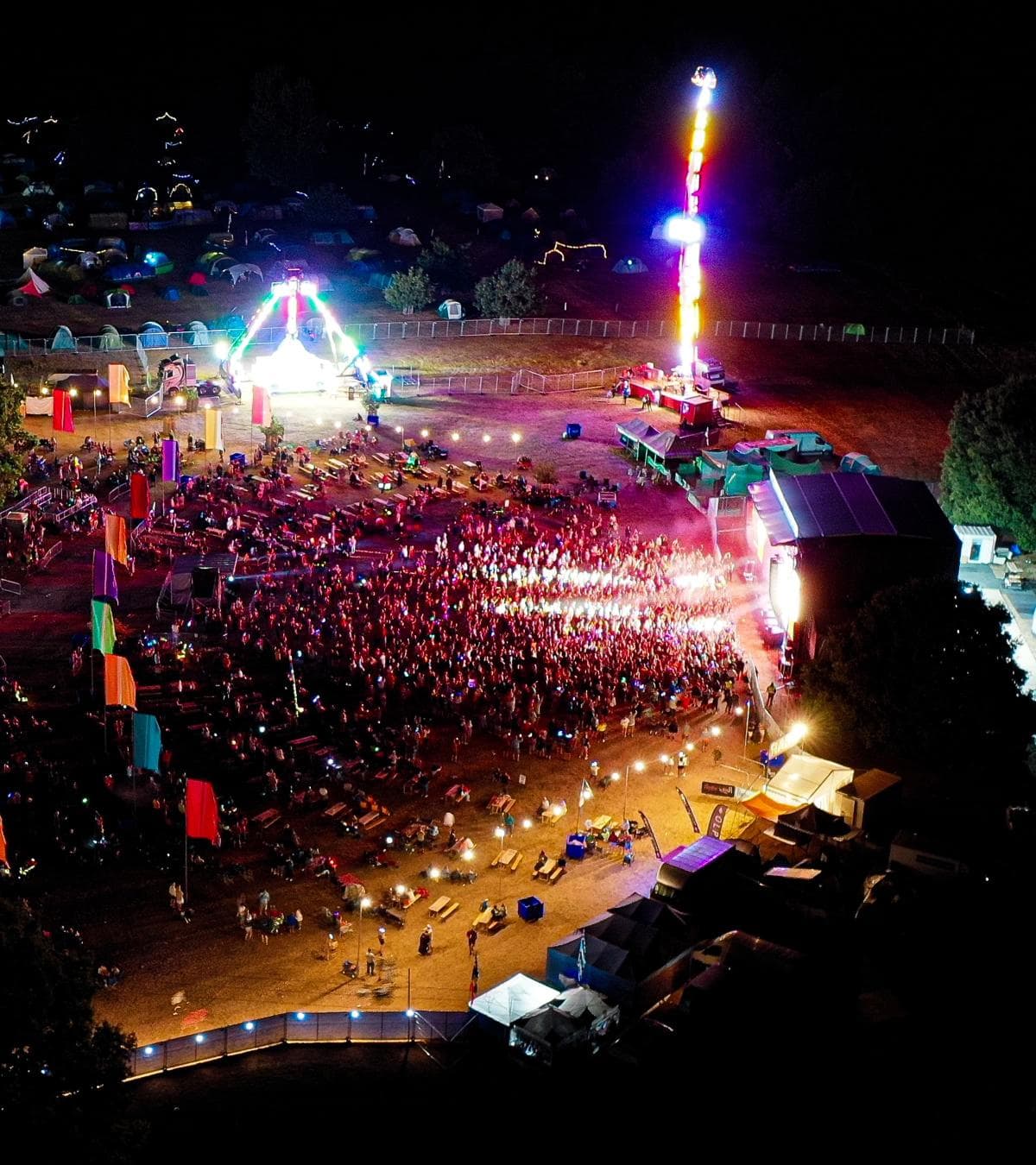
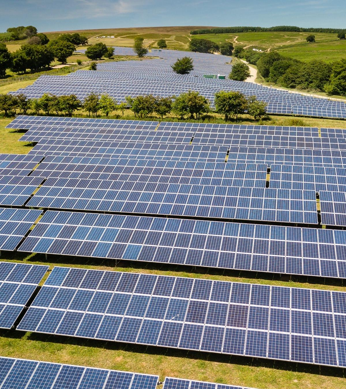
Commercial properties, industrial estates, development land and larger buildings are particularly well suited to this type of capture where context is often just as important as detail.
Supporting Property, Construction and Development
Gaussian Splats have practical uses beyond creating impressive visuals.
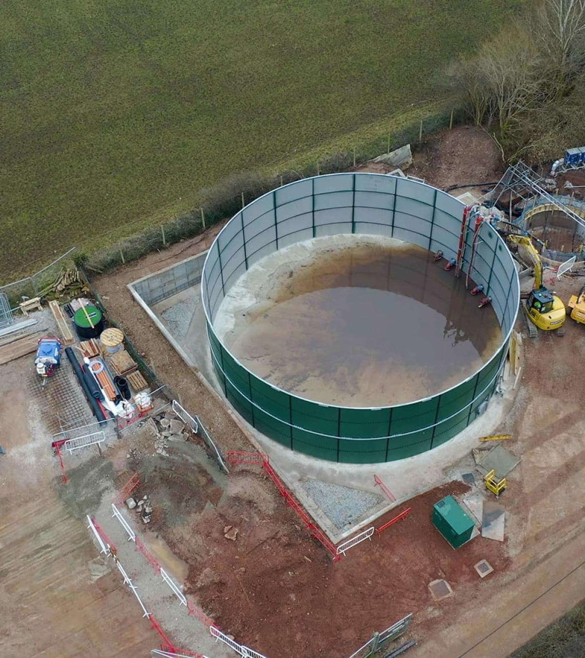
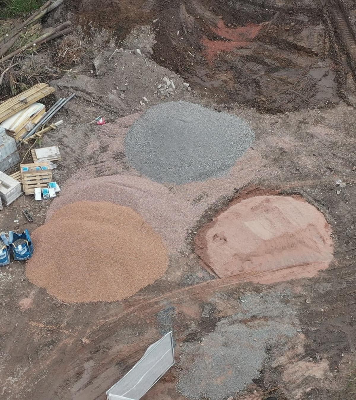
Developers can use them to record sites before work begins. Construction teams can create a visual record as projects progress. Property owners and facilities managers gain an accurate reference that can be revisited without returning to site.
The same capture can also support planning discussions, project reviews or presentations where a standard set of photographs doesn't tell the full story.
Built From Professional Drone Surveys
Creating a good Gaussian Splat starts long before the processing stage.
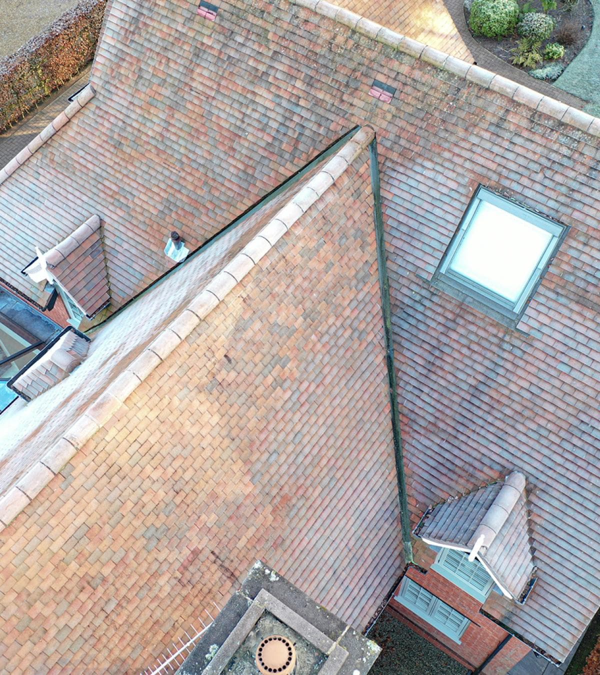
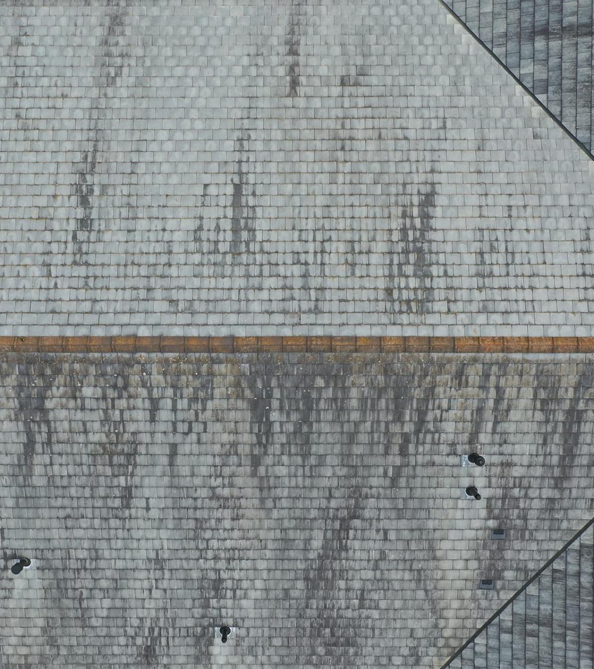
Flights are planned to achieve complete coverage of the property, capturing overlapping imagery from multiple positions. The quality of the finished model depends heavily on the quality of the original drone survey, which is why careful planning and consistent image capture remain just as important as the software itself.
Where appropriate, Gaussian Splats can also complement drone mapping, aerial photography and other survey outputs as part of a wider property survey.
Interactive Models With Real-World Value
As drone technology continues to develop, Gaussian Splatting offers another way to record and present buildings, land and infrastructure.
For some projects it becomes a useful planning tool. For others, it provides an engaging way to present a completed development or commercial property. Whatever the application, the aim remains the same — creating a clear digital representation that reflects the site as it was captured.
If you're considering using drone services on an upcoming project, Portal Drones can help you plan things properly from the outset. We take the time to understand what you need, then capture the right information in a clear, practical way that's easy to use long after the flight is finished.