Choosing a holiday park often starts long before someone makes a booking. People want to see the park, understand the layout and get a feel for the surroundings before deciding where to stay.
Professional photography, drone imagery and aerial mapping help present a holiday park in a way that ground-level images alone can't. From individual lodges and touring pitches to the wider setting, clear visuals help visitors understand what makes a park different.
Showcasing Holiday Parks Across the North West
Portal Drones works with holiday parks, caravan parks and lodge developments across Cheshire and the wider North West, producing imagery that supports both marketing and day-to-day park management.
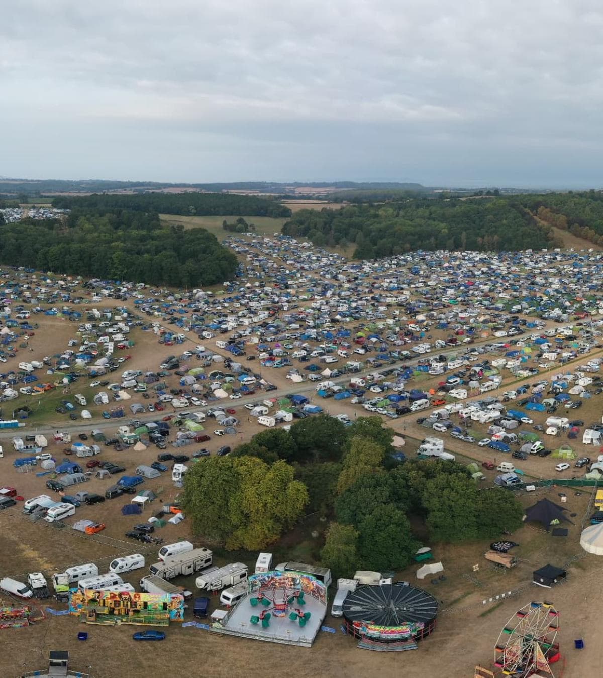
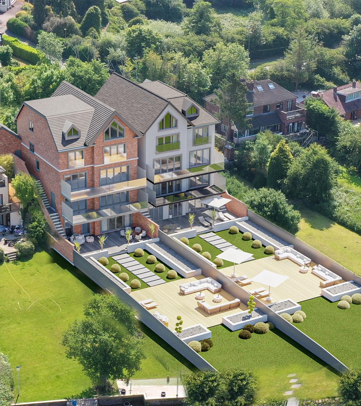
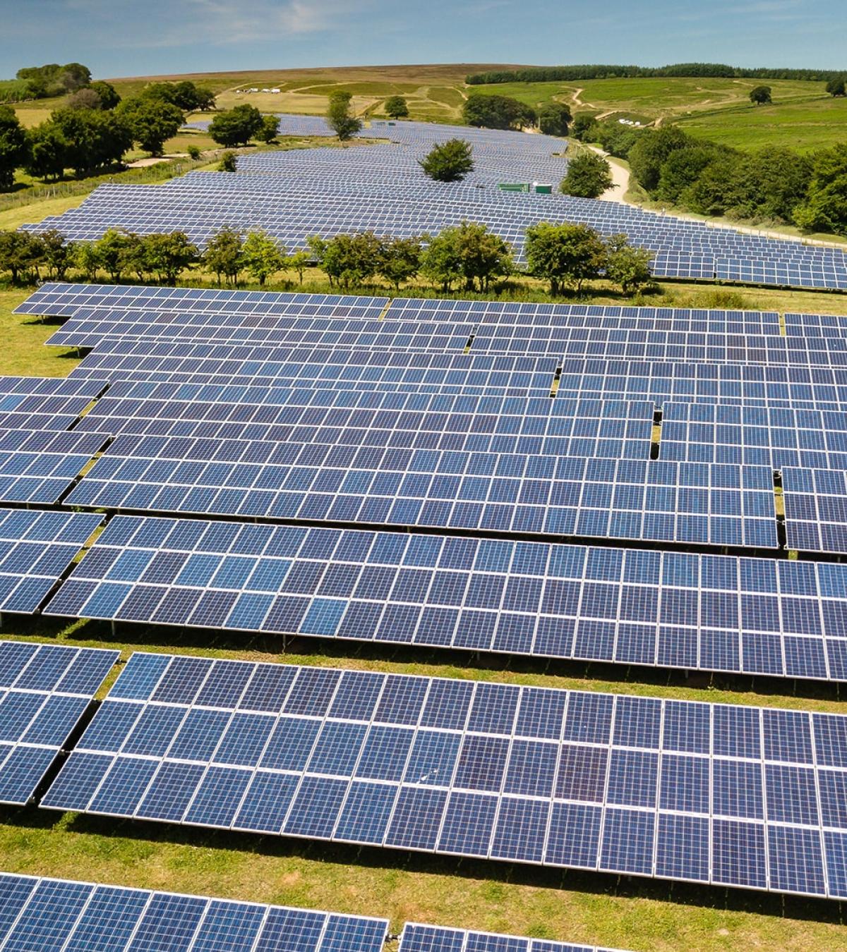
Every park has its own character. Some are surrounded by countryside, while others sit alongside lakes, woodland or coastal areas. Aerial photography helps place the accommodation into its surroundings, giving potential visitors a much clearer understanding of the park before they arrive.
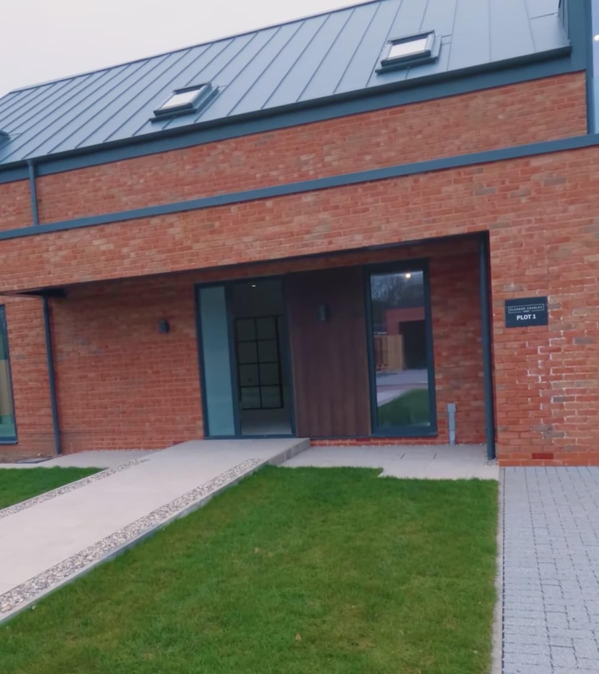
Alongside drone photography, we also provide professional ground photography of lodges, static caravans, touring pitches and communal facilities, creating a consistent collection of images for websites, brochures and booking platforms.
Drone Photography That Shows the Bigger Picture
Ground photography is important, but it only tells part of the story.
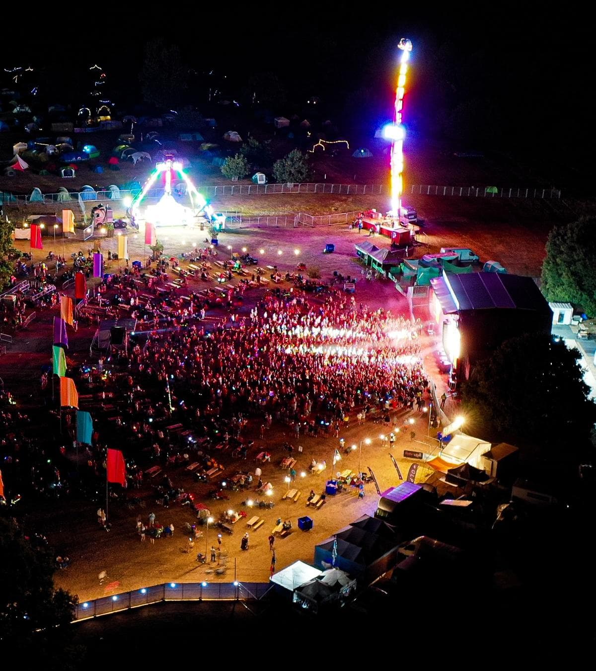
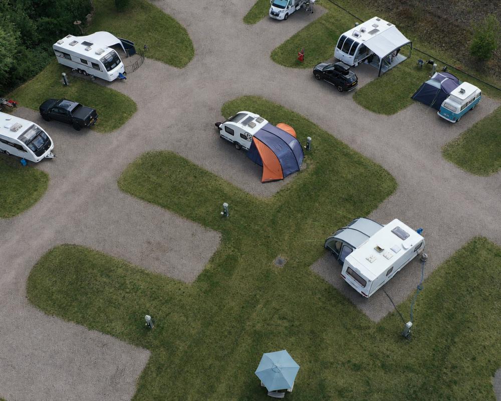
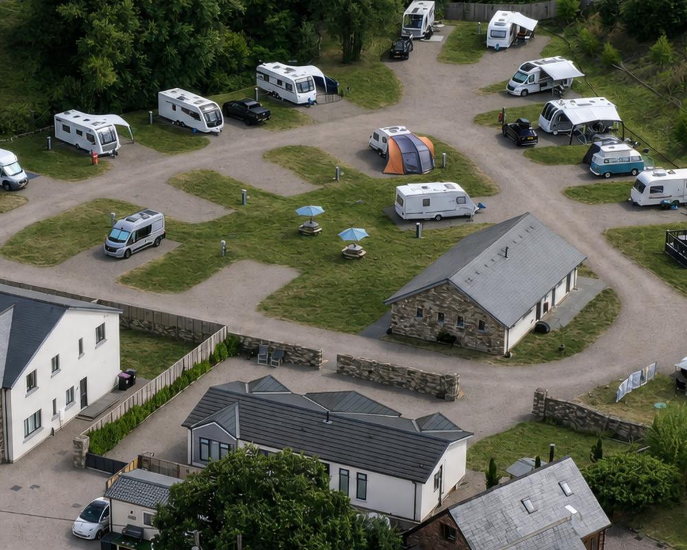
From above, it's much easier to appreciate the overall layout of a holiday park. Roads, open spaces, lakes, play areas, fishing ponds and surrounding countryside all become part of the picture. For larger parks, aerial photography also helps visitors understand where facilities are located in relation to accommodation.
The aim isn't to create dramatic aerial shots. It's to give people a better understanding of the place they're thinking about visiting.
Drone Mapping for Holiday Parks
Drone mapping can also be useful away from marketing.
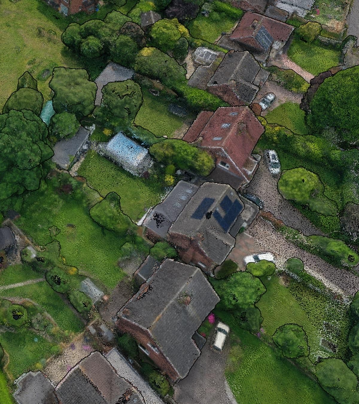
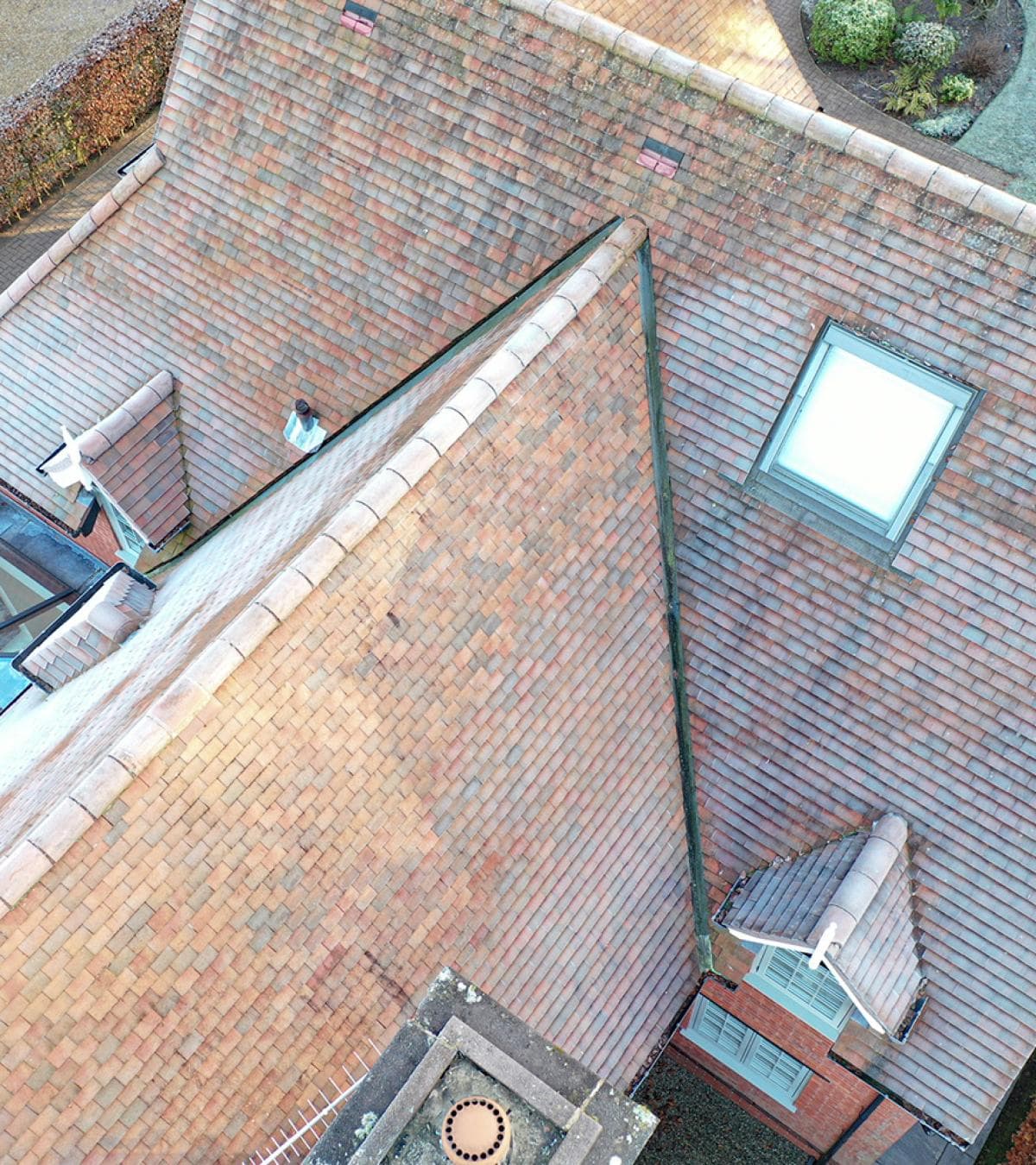
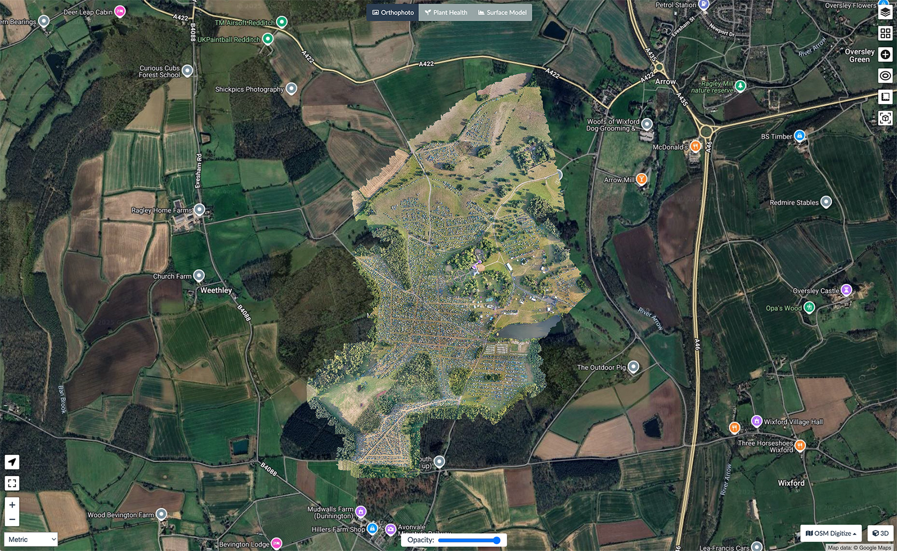
High-resolution aerial mapping provides an accurate overview of the entire park, making it easier to review plot layouts, road networks and shared facilities. Some operators use drone mapping when planning new development areas, while others use it to review caravan spacing or support ongoing maintenance projects.
Mapped imagery also creates a useful record of the site that can be referred back to whenever changes are being planned.
3D Models and Park Planning
For larger parks and ongoing developments, 3D models provide another way of understanding the site.
Buildings, lodges and surrounding land can be recreated as accurate digital models, giving owners and managers a better view of the park without needing to rely solely on drawings or site visits. These models can support planning, refurbishment projects and discussions with contractors, while also providing reliable measurements where they're needed.
Photography That Encourages Bookings
Holidaymakers often decide within a few moments whether they want to find out more.
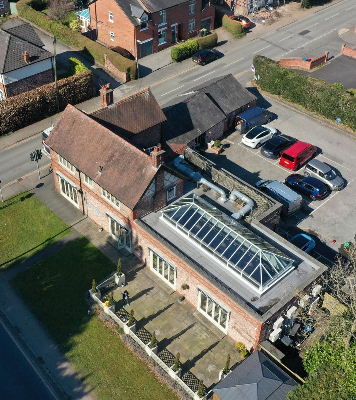
Clear photography of accommodation, facilities and the wider park helps visitors picture themselves staying there. Interior images show the standard of the accommodation, while exterior and aerial photography provide the context that many booking platforms simply can't achieve with ground-level images alone.
Whether you're promoting luxury lodges, touring pitches, static caravans or glamping accommodation, the right photography helps present the park naturally without trying to oversell it.
If you're considering using drone services on an upcoming project, Portal Drones can help you plan things properly from the outset. We take the time to understand what you need, then capture the right information in a clear, practical way that's easy to use long after the flight is finished.